The Abandoned Pennsylvania Turnpike — See the Pictures
by Brian Troutman on Nov.01, 2004, under Abandoned Turnpike, Highways

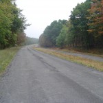
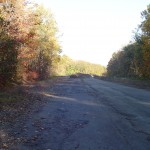
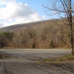
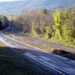
Eastbound between Breezewood and Ray's Hill.
Of course, there really is no substitute for making an actual pilgrimage to Breezewood, but if you aren’t really inclined to make the trip or are trying to give yourself more excuses to go, take a photo tour of the Abandoned Pennsylvania Turnpike.
These images begin at Breezewood, the westernmost end, and continue east to Ray’s Hill, Sideling Hill, and Cove Valley
Please note that the sections west of US 30 and east of Pump station Road are still property of the PTC and not open to the public. Though pictures of these areas are featured below, I do not recommend that you visit these sections.
For information on how to make a successful visit to the Abandoned Turnpike, please visit the “Make a Visit” page.
-
- Original Breezewood off-ramp, still in remarkable condition.

-
- Current Breezwood traffic veers left; the original roadway goes straight ahead.

-
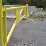
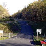
- Jersey barriers and gate at “public” western end, just east of US 30.

-
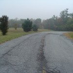
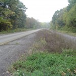
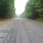
- Eastbound between Breezewood and Ray’s Hill.

-
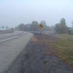
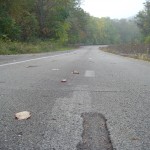
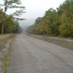
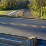
- Repaved STAR testing lanes at left; original eastbound lanes at right show extensive deterioration.

-
- Detail of STAR mini-lanes with then-new embedded reflectors.

-
- Original Art Deco overpass at Mountain Chapel Road; Ray’s Hill in background.

-
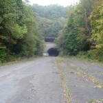
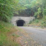
- Eastbound traffic narrows to a single lane as it enters Ray’s Hill Tunnel.

-
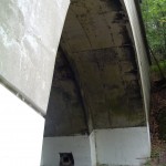
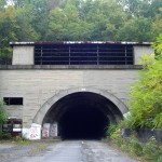
- Detail: Ray’s Hill Tunnel; in person, it seems enormous.

-
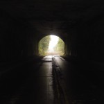
- Looking eastward from the inside the depths of Ray’s Hill.

-
- The somewhat neutered-looking eastern portal of Ray’s Hill.

-
- Two lanes return to four as the Abandoned Turnpike exits Ray’s Hill.

-
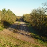
- Eastbound between Ray’s Hill and Sideling Hill.

-
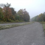
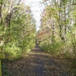
- The central section arguably is in the best condition.

-
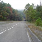
- Eastbound near Oregon Road approaching the impossibly long Sideling Hill Tunnel

-
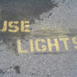
- “Use Lights” admonition west of Sideling Hill, perhaps intended for state police patrollers.

-
- Though seemingly identical to Ray’s Hill, Sideling Hill Tunnel is nearly twice as long.

-
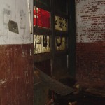
- Inside the maintenance room at Sideling Hill; interesting recycling of old signage.

-
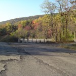
- Eastbound after Sideling Hill, approaching the former Cove Valley Service Plaza.

-
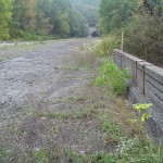
- Looking west at Cove Valley; an earthen mound and Jersey barriers have been added in recent years.

-
- Also at Cove Valley; compare to previous image. This was taken four years earlier.

-
- This narrow lane allowed employees to reach Cove Valley without entering the Turnpike.

-
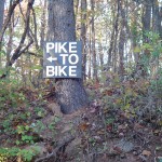
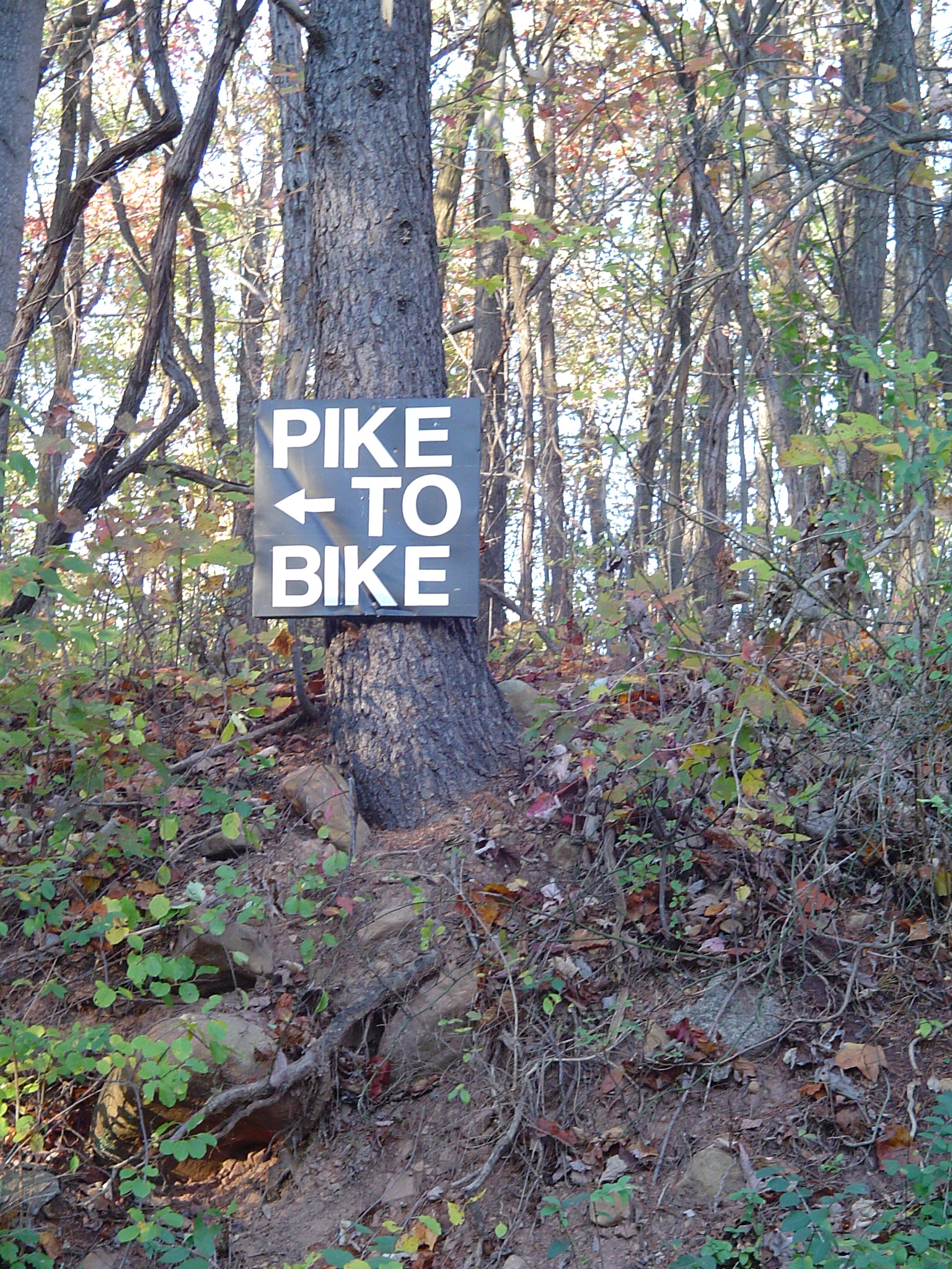
- Sign at Pump Station Road directing sightseers to a makeshift parking area.
-
- Looking east where an overpass once carried the Turnpike over Pump Station Road.

-
- Looking west as the Abandoned Turnpike approaches Little Egypt Road. This is PTC property.

-
- Little Egypt Road in the foreground on an earthen embankment; this replaced an overpass.

-
- Looking east at Little Egypt Road; the Abandoned Turnpike ends in the distance. PTC property.
